Virgie Kentucky Custom Map
This map was the first map I made without a course assignment. Its a customized map for a friend of mine of thier hometown. I gathered the cordinates of special places, businesses, churches, etc. to represent the town and its character.
Project Details / Background
This map was created as a gift for a loved one of mine, and was soley a passion project. I wanted to give this person a little piece of home wherever they were. To craft his map I made a scread sheet to gather the cordinates of importtant places of this indivuals, their schoool, and then all the businesses, churches, schools, libraries and more and pin pointed them throughout the map. I used Blender again in this map because the region is deep in Eastern Kentucky and thier mountains are a big representation of what life is like there, and Blender allowed me to bring those mountains to life. I used Tree coverage layers and impervious surface layers to create the basemap in QGIS and then designed they map in Photoshop and Illustrator.
Image Gallery
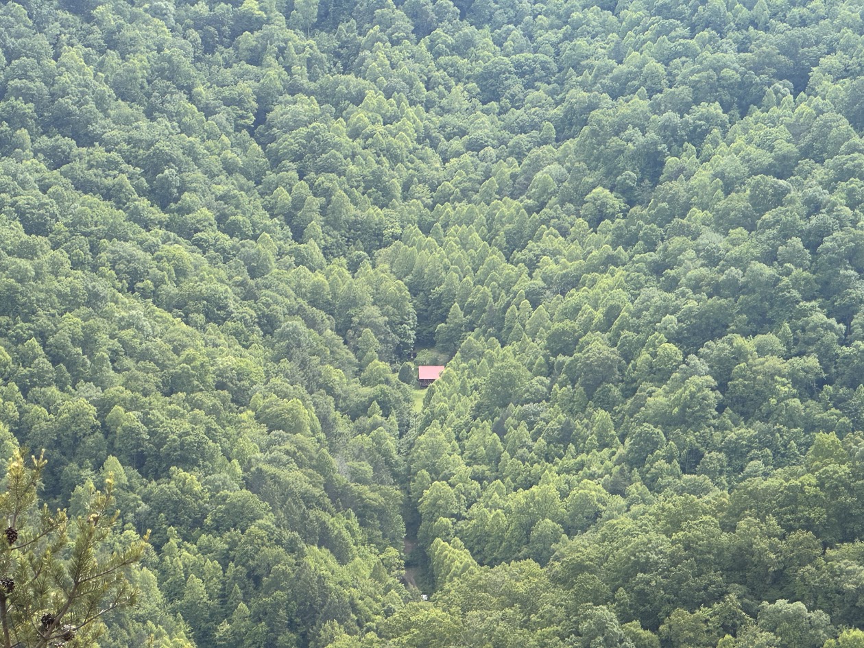 A tiny cabin hidden in the trees along the mountain of the area.
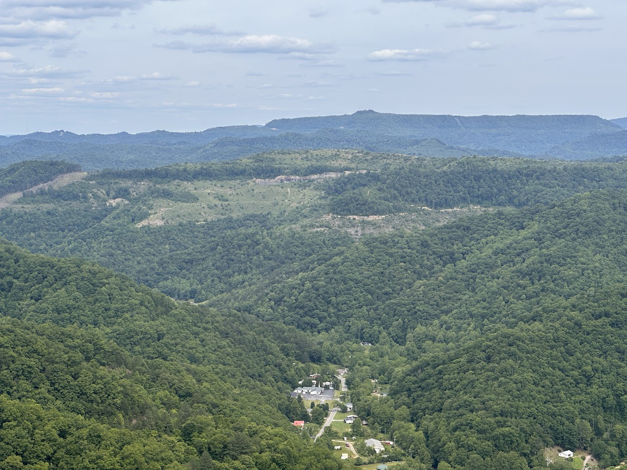 Local Town in the valleys of the mountain.
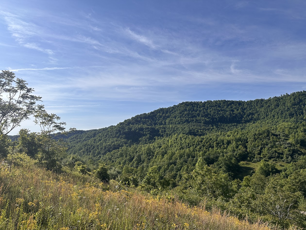 An old mining road leads you to a beautifal view of the landscape .